




The Appalachians and the Global Flood
Nate Loper – February 10, 2026
To understand the Appalachians properly, we have to step back far enough to see not just a mountain range, but a world that was once unified, later broken apart, and reshaped by catastrophic events.

A World That Was Once Whole
There are landscapes that feel settled, as though their story is complete the moment you arrive. The Appalachian Mountains are not like that. They stretch on quietly, ridge after ridge, forested and familiar, until the repetition itself begins to ask questions. Why do these mountains extend so far with such consistency? Why do their rocks show deep deformation, stacking, and erosion on a scale far larger than the valleys they now occupy? And why does their story seem to continue beyond the horizon—right to the edge of the ocean?
At the Atlantic coastline, the Appalachians do not truly end. Their structural trends simply vanish beneath the water. When comparable mountain belts reappear across the ocean, aligned in the same general directions and built from similar rock packages, the land itself suggests a larger memory. These mountains behave as though they were once connected to something beyond today’s geography.
To understand the Appalachians properly, we have to step back far enough to see not just a mountain range, but a world that was once unified, later broken apart, and reshaped by catastrophic events.
A Connected Pre-Flood World
In a biblical young-earth framework, the continents were originally created as a coherent whole. This early configuration is often referred to as Rodinia—a single landmass that existed before the Flood. The continents were not scattered fragments separated by wide oceans, but parts of an integrated surface shaped under the same initial conditions.
 When eastern North America is placed back alongside western Europe and northwestern Africa, the match is striking. Rock sequences align. Structural trends continue naturally. Large deformation belts form continuous systems rather than isolated features. What appear today as disconnected regions come together into a single, coherent geological pattern when reconstructed.
This unity provides essential context for understanding one of the most widespread sedimentary deposits on Earth: the basal Cambrian sandstones. Early in the Flood, as waters rose rapidly and spread across the continents, vast sheets of sand were deposited on a continental scale. In North America, this deposit is known as the Tapeats Sandstone and its equivalents. These sands blanket enormous areas, resting directly on erosion surfaces cut into earlier-formed pre-Flood rock.
Such continuity is difficult to explain in a fragmented world if the continents were already separated. It makes far more sense if these sands were laid down while the continents were still together, or only beginning to break apart. Flood waters sweeping across a connected landmass could transport and deposit sediment laterally over immense distances, producing the kind of consistency observed in the Tapeats and its equivalent layers across the earth. This points to global inundation acting on a unified world.
Early Appalachian Uplift and Prolonged Flood Erosion
As the Flood progressed, the earth did not remain static. The crust fractured. Plates moved rapidly. Regions of the continents experienced both separation and intense compression as tectonic forces acted on a newly ruptured surface. It is within this early phase of catastrophic plate motion that many creation geologists place the formation of the Appalachian Mountains.
This timing is crucial.
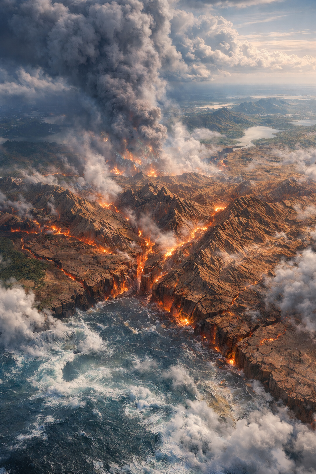 If the Appalachians were uplifted relatively early during the Flood—during episodes of strong compression as continents began to break apart and interact—then they would have been exposed to erosion for a much longer portion of the event. As global waters continued to surge across the land, powerful currents would have swept repeatedly over these newly raised regions, stripping away enormous volumes of rock.
Erosion on that scale does not require vast amounts of time. It requires energy and exposure. In a global Flood, mountains formed early would naturally experience far more erosion than those uplifted later, even within a short overall timeframe. Rounded ridges, subdued relief, and deeply eroded profiles are exactly what we would expect under such conditions.
This perspective reframes a common assumption. The Appalachians are often described as “old” because they appear worn down. But erosion does not measure age—it measures processes. In the Flood model, the Appalachians look subdued not because they are ancient, but because they were formed early and then endured prolonged, catastrophic erosion as Flood waters continued to move across the continents, often carried by global tidal currents flowing east to west.
As tectonic activity continued later in the Flood and into the period that followed, the earlier unity of the continents was lost. Ocean basins opened where land had once been continuous. Portions of the original mountain system were carried apart, leaving matching geological features on opposite sides of the Atlantic. Eastern North America retained one segment of that system, while Europe and northwestern Africa carried the others.
We see this process of the continents separating and moving apart in a similar way to standard geology with a few caveats—namely how recently and how quickly it happened. Rather than slow continental drift over millions of years, we see what you might call continental sprint. Rapid movements of tectonic plates and continents, driven by the catastrophic processes during the Flood.
This sequence explains why the Appalachian Mountains align so naturally with the Caledonian ranges, and why eastern North America shares geological traits with regions across the ocean. It also explains why the Appalachians differ in appearance from mountain belts thought to have formed later. Their form reflects not immense age, but early uplift and extensive erosion within a global catastrophe.
The Appalachians remember a time when the land was whole, when the continents moved violently, and when water reshaped the surface of the earth on a scale beyond anything we observe today. Their quiet, rolling ridges are not signs of a forgotten past. They are the lasting imprint of a world forever changed by the Flood. For a very different regional expression of the same larger history, see Florida’s geology through the lens of Noah’s Flood.


James Paul Thompson
My wife and I will celebrate our 20th wedding anniversary in early August, 2026. We’re looking for a tour/river cruise, etc., in the south, east, US, that helps us grow in our US/Bilical history. Wish CM had a tour; this Appalachians history is so interesting and inspiring. Thank you!👍
Sergey Kovalchuk
Good job, Nate
But it does not seem to me that vertical force at Rodinia separation would produce horizontal push for Appalachians formation.
I think we have to have continental collision during early Flood stages to produce Appalachians (secular Devonian Period).
Newton’s law: F=ma requires momentum.
Doctor Tim Clarey is very good at it.
Sergey,
P.S. I will never forget the river trip with Tom Vail
and Doctor Snelling and his Australian family..